Ecosystem Targets and Supporting Indicators
Eelgrass Extent
Restore and maintain an additional 2,000 acres of eelgrass by 2035 from a 2012 baseline of 1,893.
View Implementation Actions for Eelgrass ExtentProgress
The baseline was changed to 2009 because field verification of the 2012 data could not be done due to Hurricane Sandy.
| Eelgrass Abundance | |
|---|---|
| Year | Acres |
| 2002 | 1,471.8 |
| 2006 | 1,810.9 |
| 2009 | 1,826.5 |
| 2012* | 1,893.3 |
| 2017 | 1,465 |
| * field verification of the 2012 data was not done because of Hurricane Sandy. | |
| Cumulative total to target of 2,000 additional acres | ||
|---|---|---|
| Year | Acres | Cumulative Acres |
| 2009 | 1,826.5 | 0 (baseline) |
| 2017 | 1,465 | -361.5 |
Status and Trends
Meeting this target requires an average increase of 77 acres of eelgrass per year from 2009-2035. Eelgrass abundance has been assessed from 2002 to the 2017.
During the summer and fall of 2017 1,465 acres of eelgrass were mapped in the Long Island Sound Study area using aerial photography, and ‘ground-truthed’ with field surveys with an underwater video camera. The 2017 data show a difference of 429 acres in the total acreage compared to 2012, but the two surveys are not comparable. Since the field survey operation in 2012 was interrupted by Hurricane Sandy, the survey results were not as intensively verified with GPS and underwater video as the 2017 survey. The 2017 survey team, however, was able to identify 1,160 acres from 2012 that could be compared to 2017 survey results from the same acreage, In this comparable subset a net loss of 102 acres of eelgrass was assessed from 2012 to 2017. This amount reflects an 8.8% loss in eelgrass from 2012-2017, It is comparable to the losses reported in Narragansett Bay, R.I. during this time frame (Bradley et al., 2017).
While the survey was only conducted in the Eastern Basin of Long Island Sound, eelgrass experts believe that eelgrass beds in the Central Basin are small or nonexistent while beds are absent from the Western Basin. Therefore, the 1,465 acres of eelgrass identified in that survey is also estimated to be the total eelgrass coverage in the Sound. The target to achieve a total of 3,893 acres by 2035 will be achieved through the successful implementation of additional water quality protections and associated reductions in land based inputs of nutrients, as well as restoration (replanting) efforts led by academic, government, and nonprofit agencies and partners.
Challenges
The overall success of eelgrass is dependent on several parameters including water clarity, depth, substrate, temperature, and salinity. Many embayments where eelgrass once thrived, or could have thrived, suffer from changes to water quality and changes to substrate that now does promote the growth of eelgrass. In order to restore and enhance eelgrass beds and meet the Eelgrass Extent target, practitioners will need to work with partners to improve water quality and substrate issues in embayments.
To date, assessment of eelgrass in Long Island Sound has occurred through aerial surveys every four to five years. Surveys have only focused on the Eastern Basin of Long Island Sound and only a few restoration projects have been successfully completed to date. In order to increase eelgrass numbers practitioners will need annual data sets on the status of the beds (aerial surveys or otherwise), a complete geographic dataset, and the greater number of restoration projects around the Sound.
How is This Target Measured?
Aerial surveys for eelgrass are conducted every few years by the National Wetlands Inventory Program (NWI) of the US Fish and Wildlife Service (USFWS) in the eastern end of Long Island Sound. The Long Island Sound Study Habitat Restoration Coordinators track eelgrass restoration projects that are in progress within the watershed by various partners and report the total acres restored annually.
To date, five aerial surveys have been conducted, with the last survey being conducted in 2017. These inventories were started because the Connecticut Department of Energy and Environmental Protection (CT DEEP) was interested in learning the status of eelgrass beds in 2001 and wanted the beds monitored periodically.
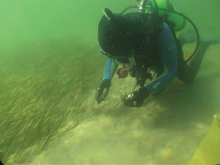
With funding from EPA, the USFWS contracted with the US Geological Survey’s l Geospatial Technical Operation Center for the collection of aerial imagery with a 0.5-1 meter resolution. Flights were conducted on June 28, 2017. The USFWS field verified habitats in September and October 2017. The data is now being analyzed, and a final report will be completed in early 2018.
Importance
Eelgrass, Zostera marina, is a rooted, underwater grass that grows along the shallow coastal waters of bays, estuaries, and beaches in the Northern Hemisphere. Eelgrass meadow habitat provides foraging areas for fish and invertebrates, and food for many migratory birds. Healthy eelgrass beds trap sediment and reduce wave energy during storms, improving water quality and protecting coastal areas from erosion.
Eelgrass bed abundance indicates good water quality and good habitat for aquatic life, and acceptable levels of nutrients. Excessive levels of nutrients such as nitrogen and phosphorous from sewage discharge and runoff can stimulate the overgrowth of phytoplankton (algal) blooms that could block the energy from the sunlight that eelgrass needs to grow.
Additional Information
Eelgrass reports:
2017 eelgrass survey
2012 eelgrass survey
2009 eelgrass survey
Contact
Victoria O’Neill, New York Department of Environmental Conservation victoria.oneill@dec.ny.gov
Harry Yamalis, CT DEEP
harry.yamalis@ct.gov
Source of Data
US Fish and Wildlife Service
DATA NOTES
- The technical explanation on how the target was selected is found in Appendix B of the Comprehensive Conservation and Management Plan.
- The baseline year that had been identified as 2012 in the CCMP has been changed to 2009. This is because the 2012 survey was not as intensively verified as other surveys because field survey operations were interrupted by Hurricane Sandy.
- Beginning with the 2017 survey, eelgrass beds in Little Narragansett Bay on the Rhode Island side of the bay are no longer included in the Long Island Sound eelgrass indicator because the LIS study area only includes eelgrass in Connecticut and New York. In order to make dataset from previous years comparable, LISS now reports the prior survey years (in the above chart and table) without the Rhode Island data. For example, 2,061 acres of eelgrass had previously been reported for 2012; without counting the Rhode Island coverage, the count is now 1893.3 acres of eelgrass for 2012.
- The eelgrass target is a component of the Coastal Habitat extent target.
- USFWS eelgrass aerial surveys are only conducted in the eastern basin of Long Island Sound.
- The US Fish and Wildlife Service’s National Wetlands Inventory Program (NWI) has conducted eelgrass inventories for the eastern end of Long Island Sound since 2002. To date, five surveys have been conducted. These inventories were started because the State of Connecticut’s Office of Long Island Sound Programs was interested in learning the status of eelgrass beds in 2001 and wanted the beds monitored periodically.