Water Quality Modeling
A Brief History in Long Island Sound

A scientific model is a mathematical, conceptual, or physical representation of a real phenomenon that might otherwise be difficult to observe or understand. These models can be used to explain or predict the behavior of a particular phenomenon and help make more informed management decisions. Mathematical models, in particular, are widespread throughout science. Climate change models are a prominent example. The Long Island Sound Study initiated modeling in the late 1980s to simulate the impacts of nutrients on water quality in Long Island Sound (LIS). Called LIS 3.0, the model evaluated water quality conditions in 1988-1989. This model was used to support development by Connecticut and New York of the Total Maximum Daily Load Analysis to Achieve Water Quality Standards for Long Island Sound, approved by EPA in 2001.
The next major modeling effort was developed by the New York City Department of Environmental Protection of the System-Wide Eutrophication Model (SWEM) based on a much larger geographic domain. NYCDEP needed the model to support regional water quality management strategies for Combined Sewer Overflow controls and water quality evaluations of the New York-New Jersey Harbor, in addition to Long Island Sound. While SWEM provided useful insights that supported regional water quality management, it did not improve predictions of bottom-water dissolved oxygen concentrations in the Western LIS sufficiently to use it to evaluate the LIS TMDL. Instead, an independent review of SWEM recommended that a new modeling effort be initiated with a finer resolution grid for LIS.
Developing A New Generation of Models for the Long Island Sound Region
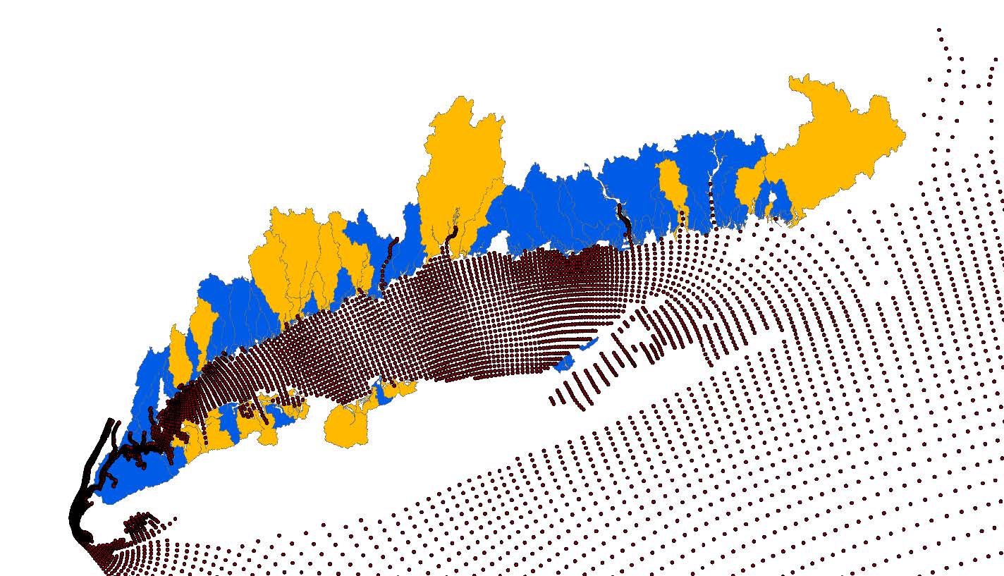
MODELING THE WATERSHED, GROUNDWATER, EMBAYMENTS, AND OPEN WATERS OF THE LONG ISLAND SOUND
The Clean Waters and Healthy Watersheds goal is to improve water quality by reducing contaminant and nutrient loads from the land and the waters impacting the Long Island Sound. Long Island Sound Study (LISS) partners have made great strides towards this goal by reducing nutrient pollution under the Total Maximum Daily Load (or TMDL) to attain water quality standards for dissolved oxygen, which has improved water quality in the Sound. Current assessments, however, demonstrate that planned actions will fall short of fully implementing the TMDL. Further progress is needed on nonpoint sources such as stormwater, on-site treatment systems, and turf fertilizer. And alternatives to nitrogen reduction (such as bioextraction) have not been implemented to scale. While hypoxia trends are improving from current reductions, water quality standards for dissolved oxygen are not yet being attained. And in addition to negatively impacting water quality in the open Sound, excess nitrogen can contribute to other impairments such as harmful algal blooms, loss of tidal wetlands and eelgrass, coastal acidification, and hypoxia in coastal embayments. Some of these adverse impacts can result in coastal communities being less resilient to climate change and sea level rise.
As a result, multiple initiatives are underway to understand how nutrient pollution is affecting Long Island Sound and provide a strong scientific foundation to set nitrogen targets for nearshore embayments and large riverine systems and reassess the Soundwide TMDL for open water hypoxia.
To do so, LISS partners are improving the technical tools to understand and manage the sources and impacts of nutrients on Long Island Sound, including:
- Developing computer models that represent the physical, chemical, and biological processes on the land and water, and
- Gathering data necessary to run and test models’ abilities to represent real-world conditions.
These models will greatly improve the understanding of nutrient pollution impacts by effectively estimating nutrient scenarios through the incorporation of site-specific features. Additionally, the models will analyze potential nutrient management approaches to quantify their impacts and cost-efficiency. Multiple efforts are underway in both Connecticut and New York to develop modeling tools to better estimate the sources and amounts of nutrients generated in the Long Island Sound watershed, how the nutrients are delivered via rivers or groundwater to Long Island Sound and its embayments, and the effect these nutrients have on water quality. Modeling approaches are tailored to the conditions and needs in each state. For example, distinct geological features between Connecticut and New York drive differences in nutrient sources and transport mechanisms – the main transport mechanism for Connecticut is surface waters, while on Long Island in New York groundwater is the main transport mechanism.
These modeling efforts are supported under Connecticut’s Second Generation Nitrogen Strategy, New York’s Long Island Nitrogen Action Plan, and the EPA Nitrogen Reduction Strategy. Each of these efforts incorporates a variety of models. The results of these models will be individually assessed but also linked together to better elucidate the sources and contributions of nitrogen and support their management in a comprehensive manner. Learn about these efforts in the Connecticut, New York, and Systemwide Eutrophication modeling web pages.