Seafloor Mapping
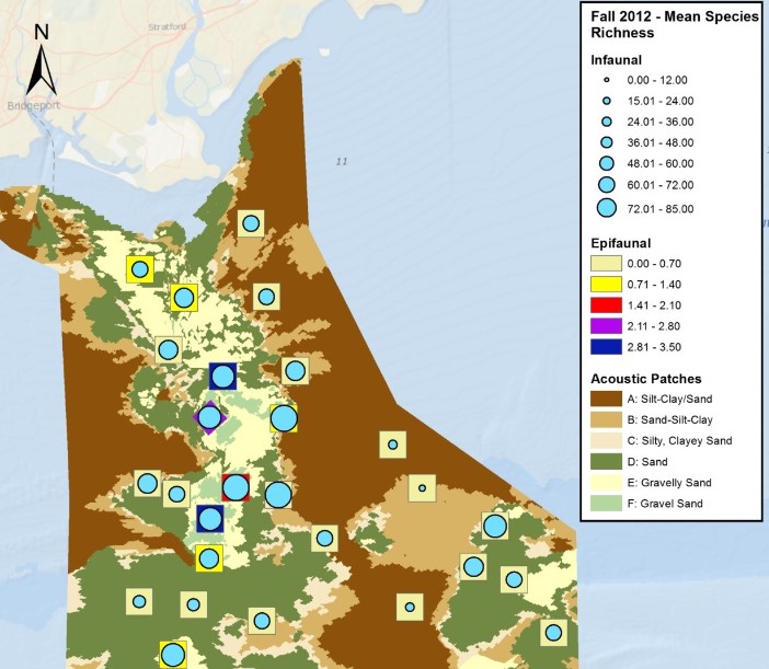
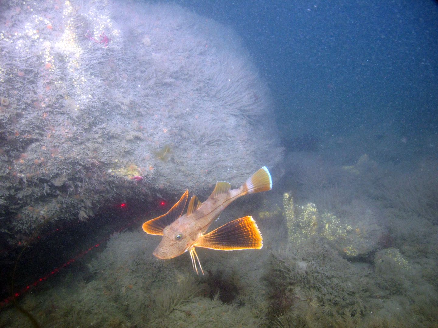
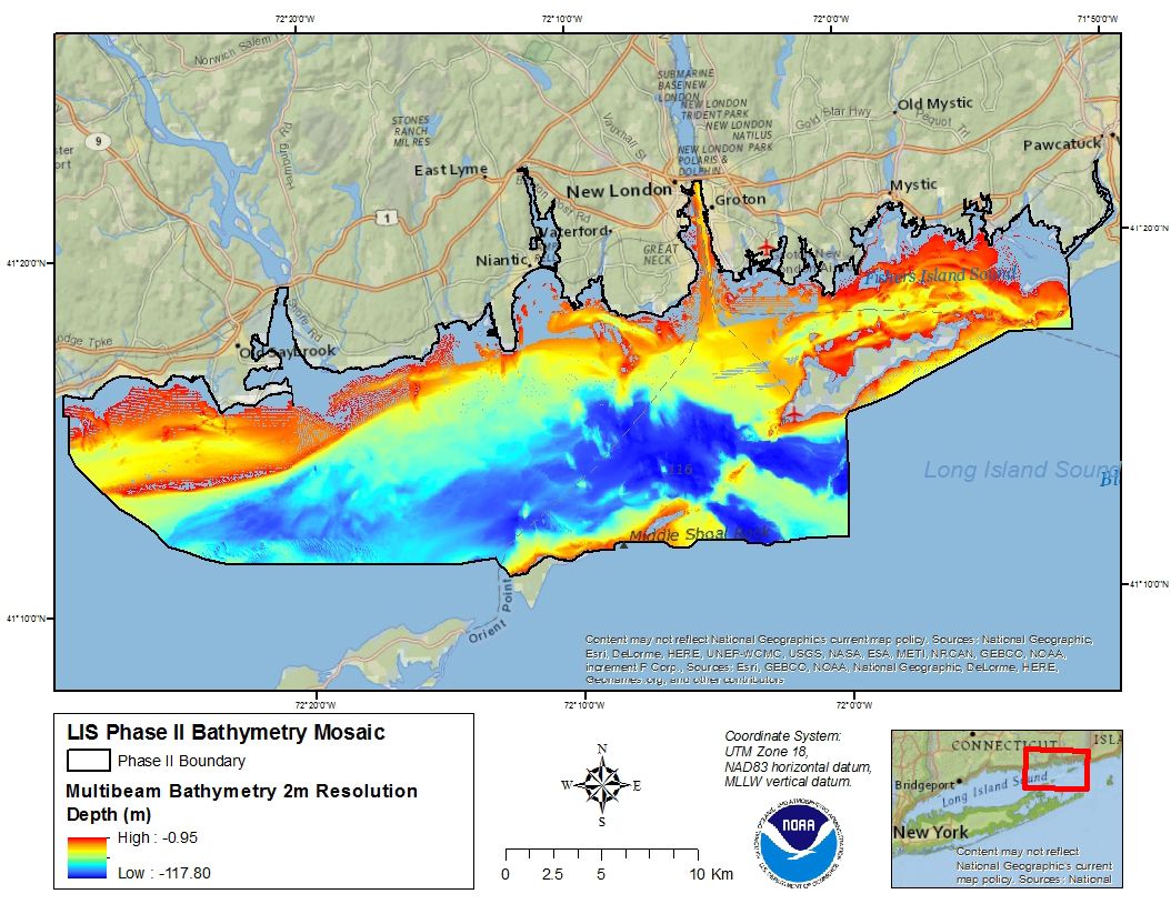
Underneath the surface of Long Island Sound exists a wide range of seafloor habitats—from the shallow, sandy bottom in the Narrows near New York City, to the deep and rocky recession in the Race near Fishers Island. Mapping the seafloor provides a framework to better understand and manage the resources dependant on these diverse habitats.
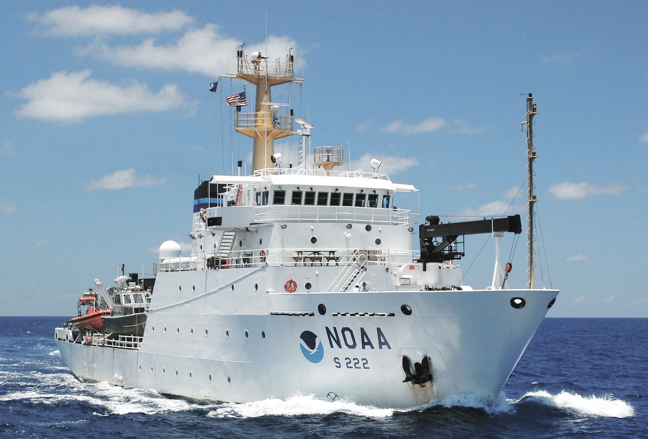
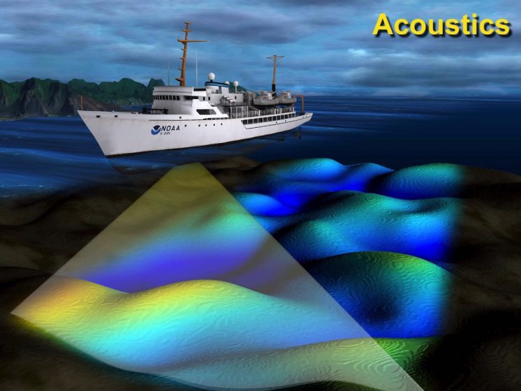
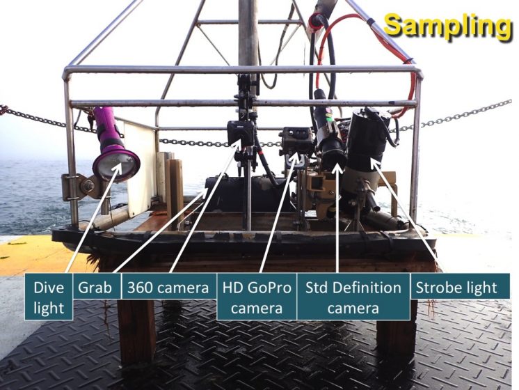
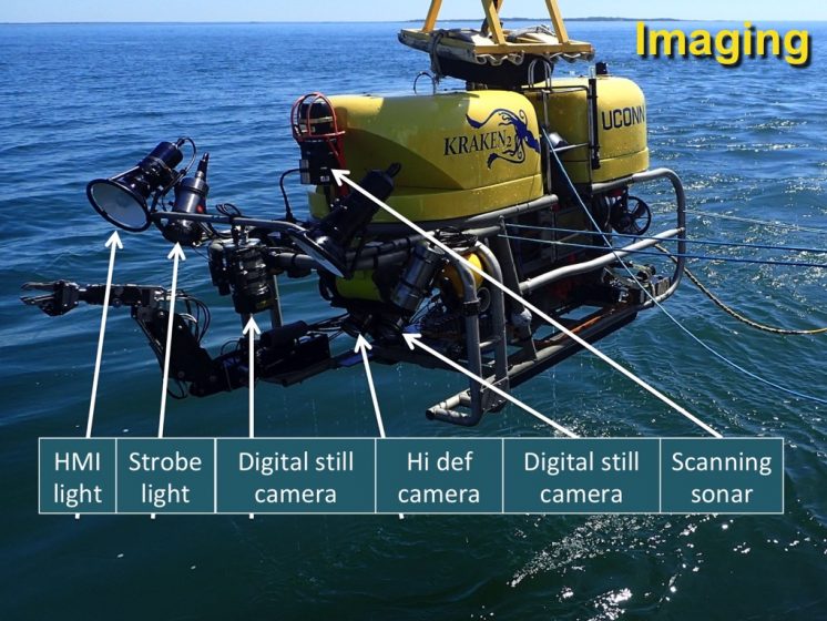
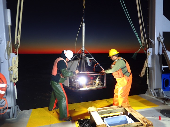
In an effort to better understand, describe, and analyze these seafloor (or “benthic”) environments federal and state agencies, regional organizations, and academic institutions use high resolution underwater acoustic and imaging techniques to characterize and map specific geographic locations.
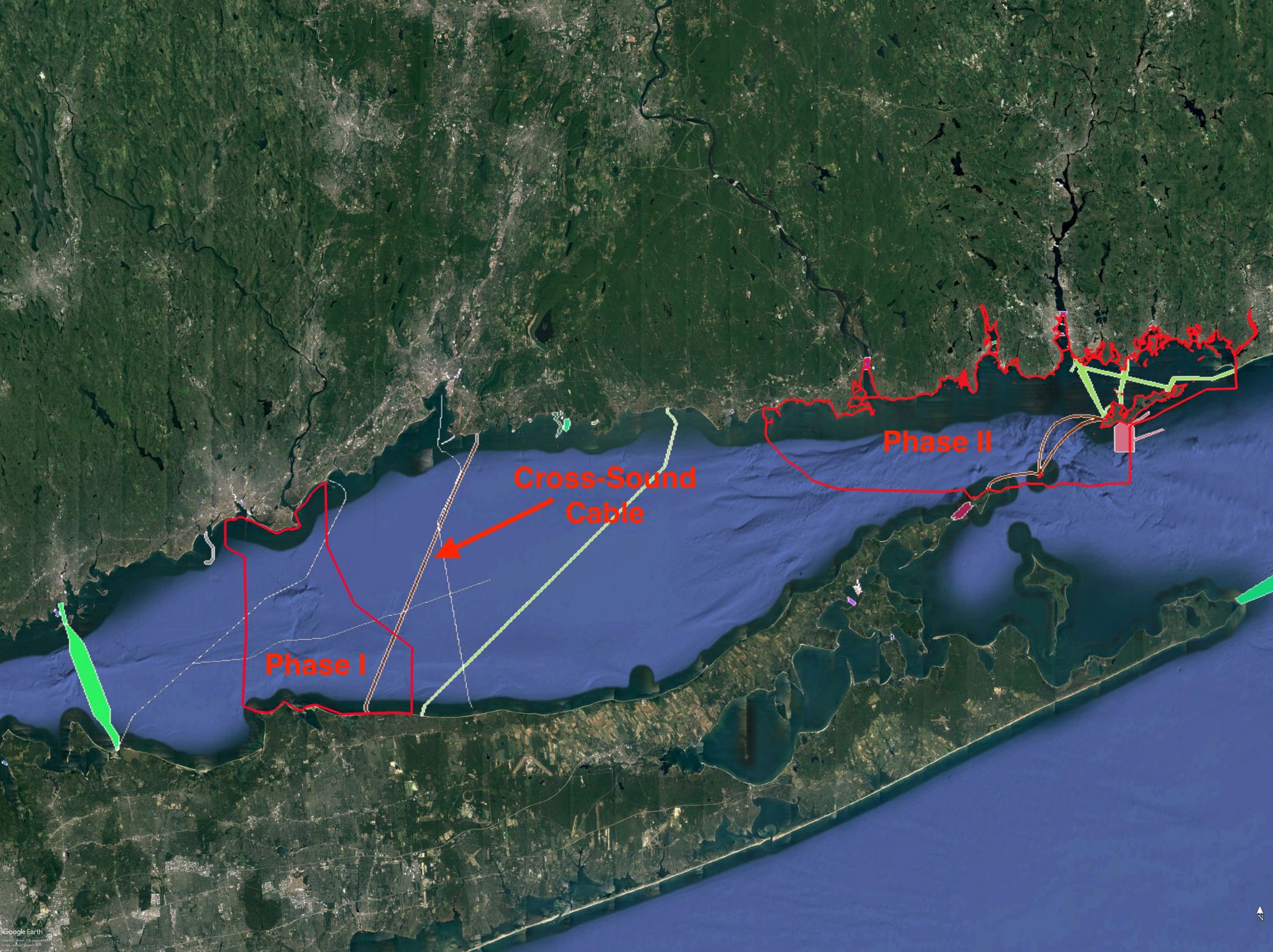
A 2004 settlement between the states of Connecticut and New York, two power companies, and a cable company is providing funding for additional seafloor mapping. The settlement resolved a permitting dispute relating to two electrical cable crossings of Long Island Sound. As part of the settlement, the companies agreed to contribute $6 million to a Long Island Sound Research and Restoration Fund as a condition for its permit. In 2004, the Long Island Sound Study Policy Committee signed a Memorandum of Understanding on administering the fund for research and restoration projects to enhance the waters and related natural resources of Long Island Sound. In 2006, the Long Island Sound Study Policy Committee signed a second Memorandum of Understanding formally establishing a framework for the fund’s use. The Policy Committee agreed that the Fund be used to:
- Support new projects and activities that enhance Long Island Sound.
- Promote improved scientific understanding of the biological, chemical, and physical effects of existing or potential cable and pipeline crossings and mitigation of their impacts.
- Emphasize benthic mapping as a priority need, essential to an improved scientific basis for management and mitigation decisions.
The Policy Committee also established a Cable Fund Steering Committee, comprised of representatives of the EPA Region 1 and Region 2 offices, the New York State Department of Environmental Conservation, The Connecticut Department of Energy and Environmental Protection, and Connecticut and New York Sea Grant Programs, to administer the fund.
The Long Island Sound Seafloor Habitat Mapping Initiative
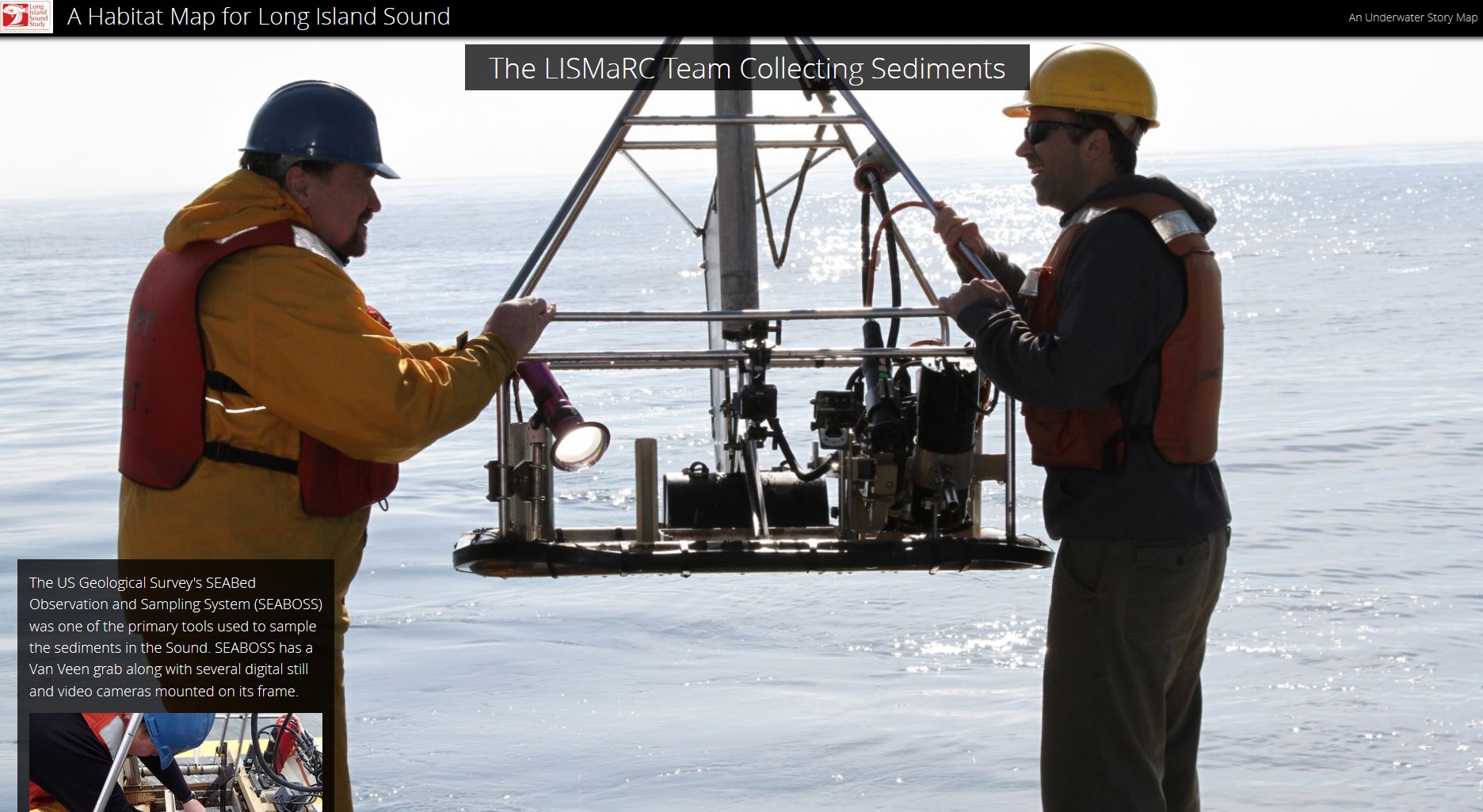
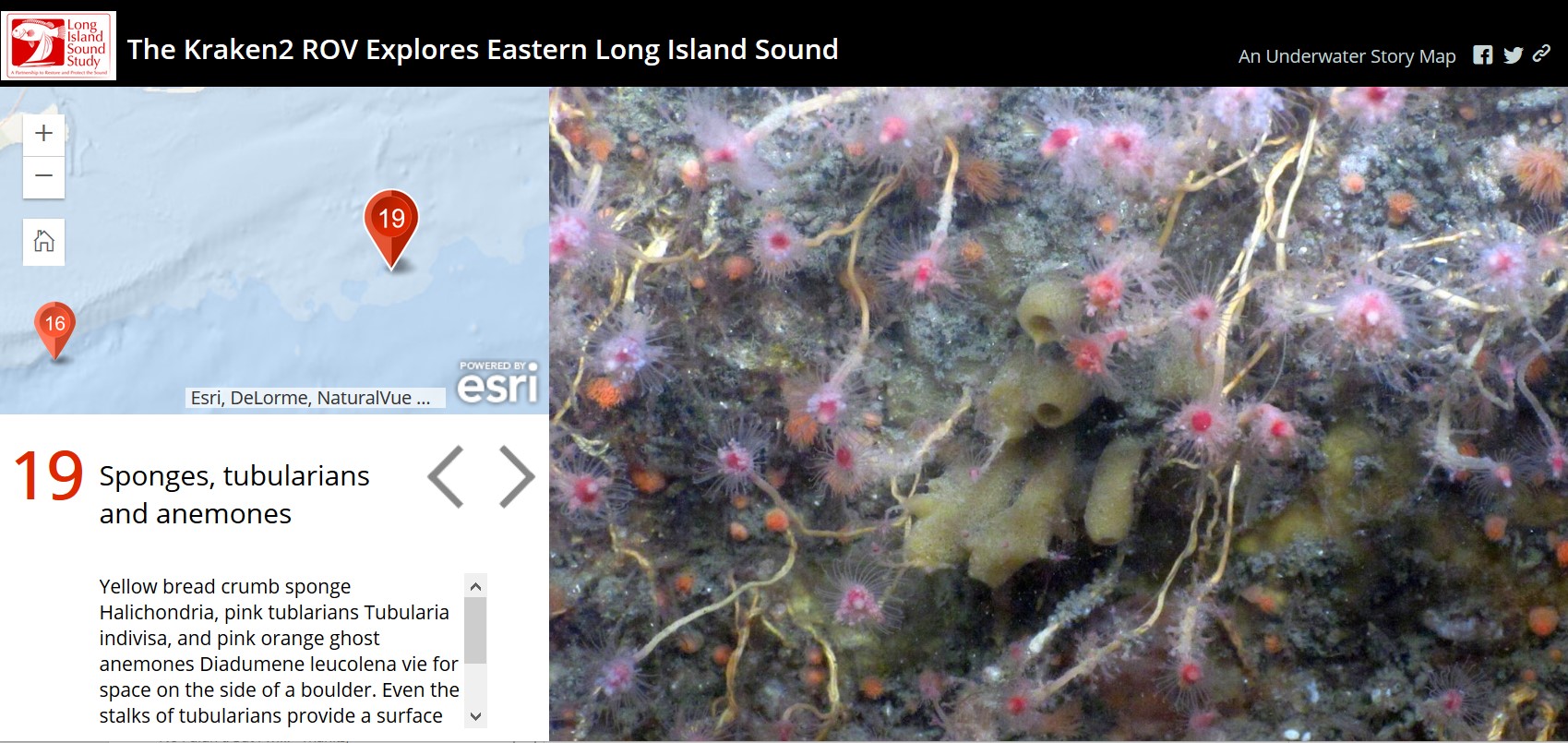
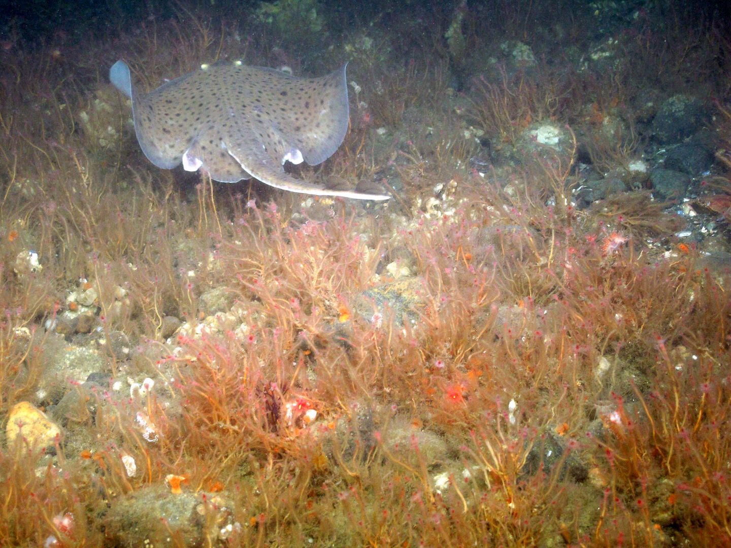
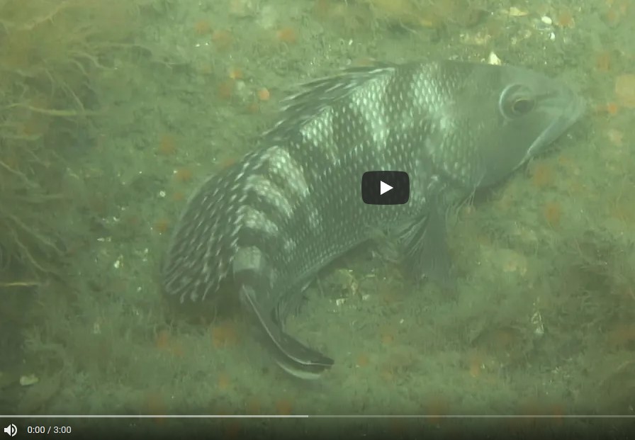
View the photo gallery to find out about the work being done as part of the Seafloor Mapping Initiative.
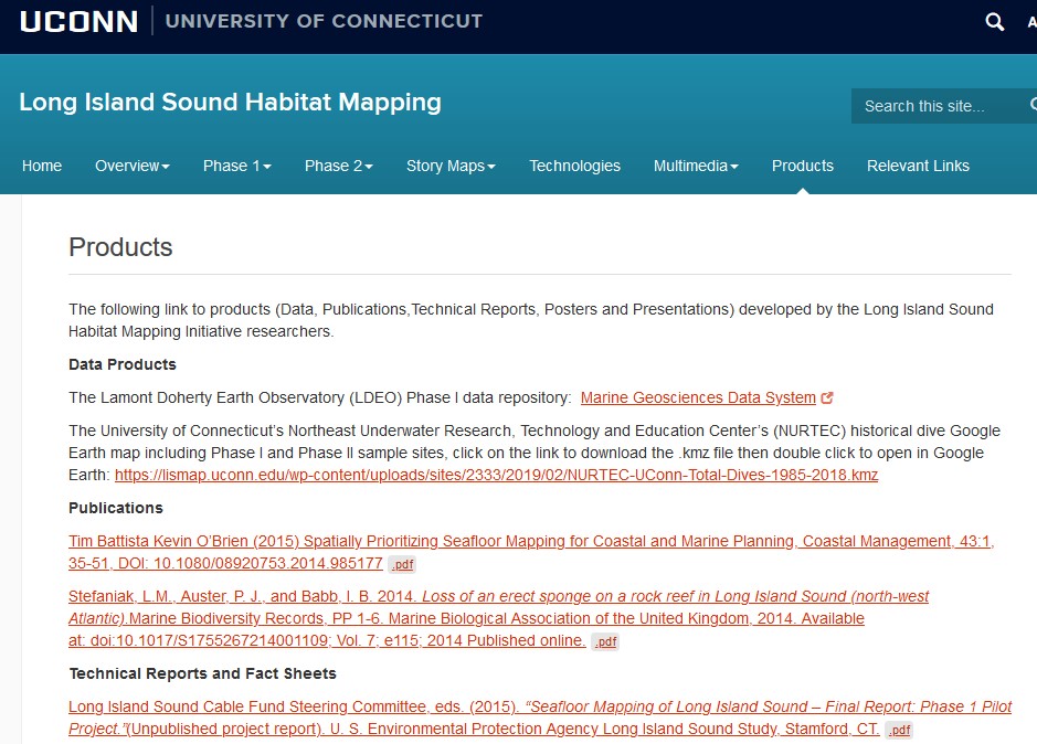
To learn more about the Long Island Sound Seafloor Habitat Mapping Initiative go to Habitat Mapping page on the the University of Connecticut website.
Long Island Sound Seafloor Mapping Program References
Below is a list of reference materials to learn more about how the history of the Long Island Sound Seafloor Mapping Program began, and about seafloor mapping in general. Another good reference on this history of the program is the October 2013 issue of Sound Update.
Seafloor Workshop Summaries
- Summary of the Long Island Sound Spatial Prioritization Workshop, Aug. 3-Aug. 4, 2011.
- Summary of the Long Island Sound Seafloor Mapping Workshop, Nov. 30, 2007.
Long Island Sound Mapping References
- Final Report and Appendices of Phase I Pilot Project (June 2015 -note these are large files)
- Final Report and Appendices of Phase II Project (January 2023 -note these are large files)
- Seafloor Mapping of Long Island Sound: Scope of Work – Phase 1 Pilot Project Feb. 24, 2012.
- Comprehensive Assessment and Report, Part II, Environmental Resource and Energy Infrastructure of Long Island Sound, Taskforce on Long Island Sound, Pursuant to State of Connecticut Public Act No. 02-95 and Executive Order No. 26, June 3, 2003.
- Long Island Sound Symposium: A Study of Benthic Habitats, the Connecticut Academy of Science and Engineering for the Connecticut Energy Advisory Board, Nov. 2004.
- Summary of the Long Island Sound Seafloor Mapping Workshop Nov. 30, 2007
- A Habitat Classification Scheme for the Long Island Sound Region, National Undersea Research Center & Department of Marine Sciences, Prepared for the Long Island Sound Study, EPA Long Island Sound Office, June 2009.
- Environmental Impact Statement for the Designation of Dredged Material Disposal Sites in Central and Western Long Island Sound, Connecticut and New York. US Environmental Protection Agency, New England Region, April 2004.
